
 A new mapping system is available to help in your exploration of Valdese Lakeside Park.
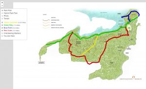
At this address – https://friendsofthevaldeserec.org/app/vlp/ – you will find the colored trails – names and mileages. You will have the choice of showing trails on a background of the terrain or the proposed park plan. Most amazing is the “You Are Here” feature. While out on the trails, you can access the maps with your smart phone to show your location in the park. You can even follow along as you move.

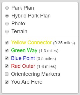 To use the map features, click on the icon that looks likes layers or a stack of paper.
This will bring up the choices for background – Park Plan (just the Destination by Design Park Plan with white surround), Hybrid Park Plan (with street surround), photo (shows buildings and roads), Terrain (lines for streets and topographic lines).
Below the background choices (choose one), you can select none or all of what to show on the map.
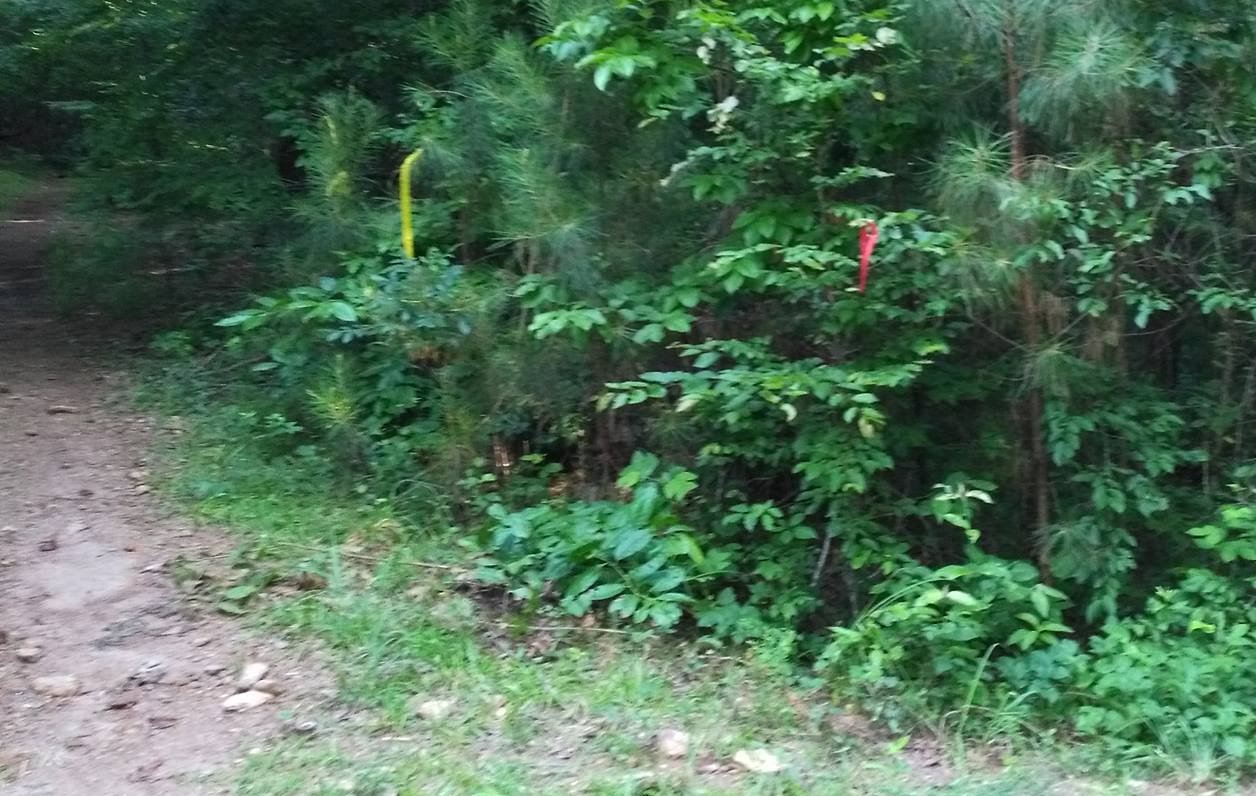 The colored trails are mapped with ribbon at the park. See Red and Yellow ribbons at the intersection of those trails in picture on right.
The 10 Orange/White Orienteering Markers create a scavenger hunt across the property.
Thanks to Eric Heile for creating this Interactive Map.