
The planning team for the Catawba River Trail (former working title – Burke River Trail) met with a surprising partner on Wednesday. Vulcan Materials Company owns property on the river in Morganton which would provide about one-half mile of trail along the waterfront and is interested in sharing their natural resources with their neighbors.
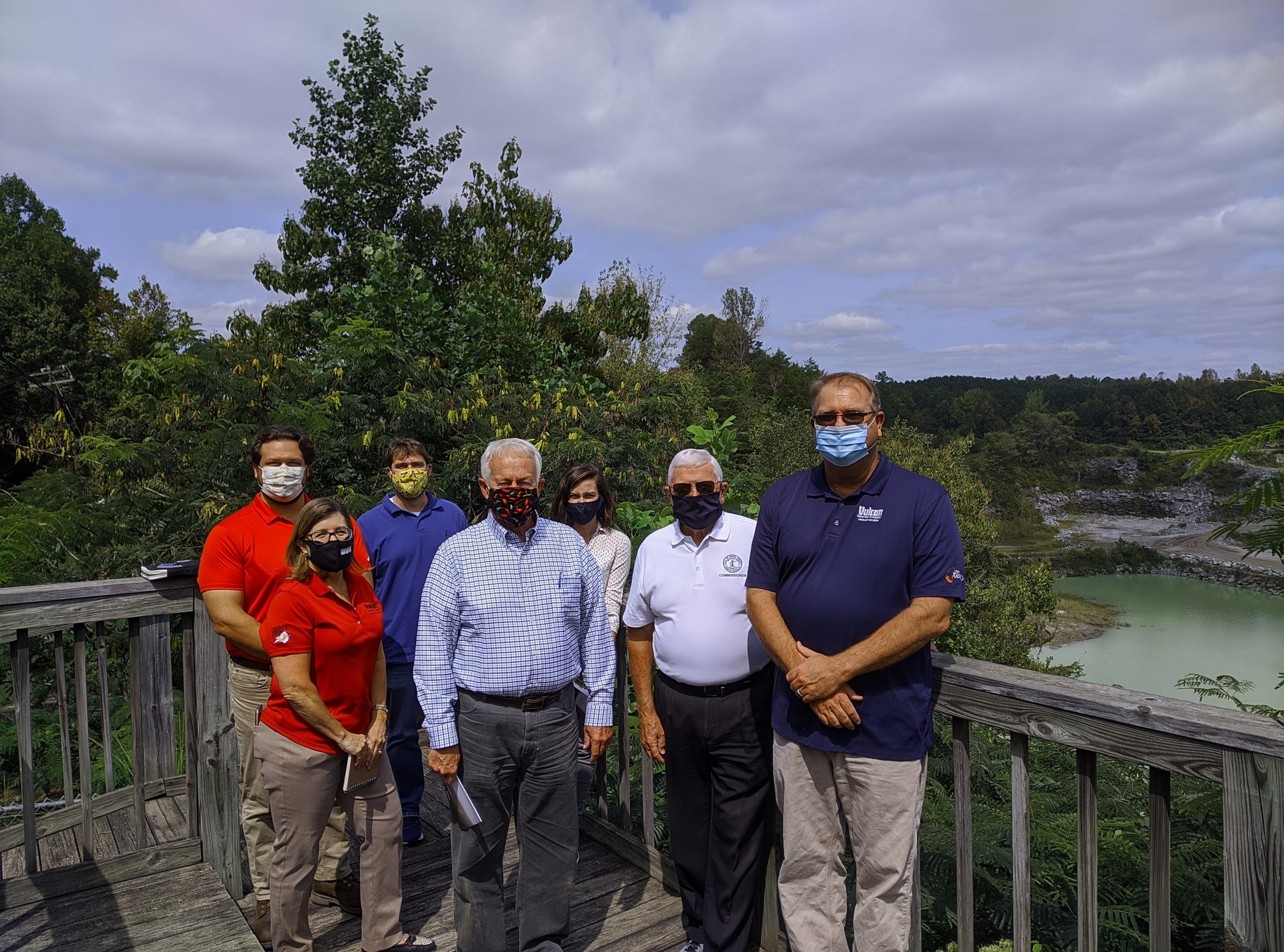
Denise Hallett, Vulcan Community and Government Relations Manager along with Paul Ware, Vulcan Operations Manager and Andrew Diakos, Vulcan Land Manager welcomed Johnnie Carswell, Chairman, Burke County Board of Commissioners, NC Rep. Blackwell, Todd Stroupe, WPCOG GIS Analyst, Beth Heile, Friends of the Valdese Rec President and Averi Ritchie, WPCOG Transportation Planner to learn more about the plans for the Catawba River Trail and to give a tour of the Morganton Quarry.
Environmental stewardship is a core value for the company that mines the gneiss deposit and produces crushed stone used in all types of construction in the area. “Vulcan Materials literally builds the community,” says Hallett. “Our products are a major component of asphalt, concrete and base materials that build roads, schools, hospitals, homes, churches and more.” The overall site began operation in 1986 and consists of approximately 309 acres which nearly 100 acres currently exist as buffers.
The operation is certified by the NC Wildlife Federation as a WAIT (Wildlife and Industry Together) site. The Morganton Quarry offers tours with an educational focus on earth & environmental science to area schools and organizations. They are working with STEM West partners on programs to explore enhanced learning opportunities such as developing a learning center on the site. Additionally, they support the Foothills Conservancy and will be supporting educational programs at the NC School of Science and Math.
For the Vulcan segment of the Catawba River Trail, Vulcan would continue their commitment to education by placing several educational exhibits along the trail for users to learn about how rocks and minerals are used in society. “We are excited about this opportunity to partner with the Catawba River Trail stakeholders by offering part of our buffer land along the river for the trail segment” Hallett said.
In Connelly Springs, Town Administrator Tamara Brooks and Mayor Johnny Berry presented an incredible option for a point of interest along the trail. The town holds 68 acres along Tomlinson Loop with plans for residential development and a park. The location of the park would create a trailhead with parking. Brooks noted that Connelly Springs would be the midpoint of the Catawba River Trail creating a marketing opportunity.
In Long View, David Draughn, Town Administrator and Charles Mullis, Town Planner stated their 7-acre park on Second Ave NW could be a feature of the trail. The existing park includes a walking track, picnic area, playground, restrooms, and parking. From Long View, the trail will connect to the Hickory City Trails System.
Morganton Wastewater Treatment Plant Eli Self Superintendent told the planning team about two obstacles in walking along the river at the plant – chlorine gas and a very marshy landscape. For those reasons – difficulty of evacuating people on the trail in the event of a problem and the expense of a boardwalk across the marsh, the trail will stay a little south of the main building and will follow Hunting Creek.
The planning team (Rep Blackwell, Beth Heile and WPCOG employees) has now visited all municipalities in eastern Burke County – Morganton, Drexel, Valdese, Rutherford College, Hildebran, Connelly Springs and Long View. The final meeting of all trail stakeholders will be online Wednesday morning, September 30. The Western Piedmont Council of Governments feasibility study will be complete at the close of that meeting. From there, it will be in the hands of the stakeholders to continue to work on their segment of the trail. That could include refining the corridor, signing trail easements with property owners and/or gathering volunteers to build trail. Heile said, “With many parcels already developed for residential or industrial use, I was not certain a corridor could be found that keeps along the river for most of the route. Breaking the trail into segments and dissecting those piece by piece, has been time consuming but has created a trail that I cannot wait to hike. I am grateful for the leadership and effort WPCOG has put into this study.”